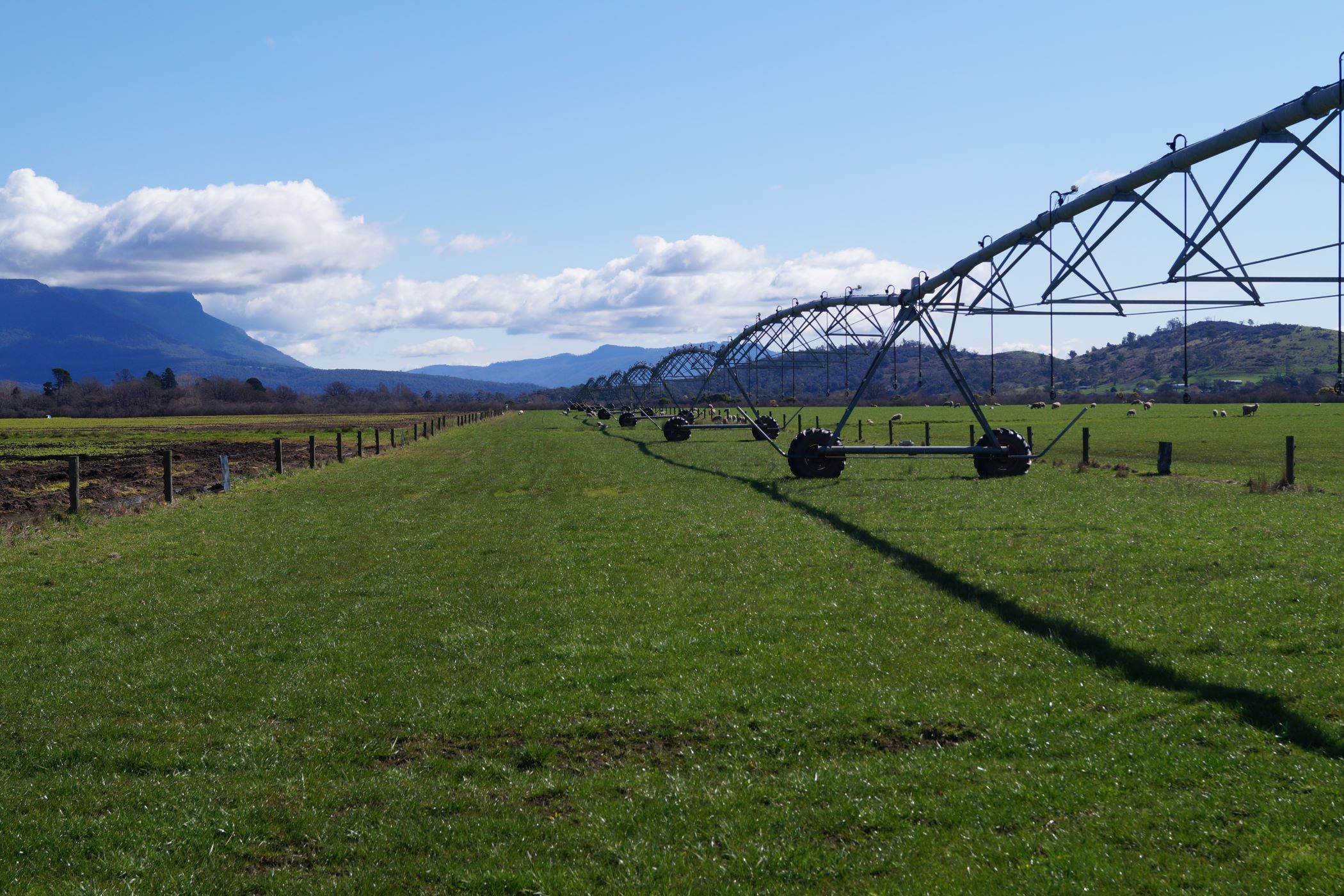
Linking data to decision makingCombining spatial and monitoring data can guide decision making and significantly improve water management on farm. Spatial data, such as topographic maps, electromagnetic soil surveys (EM maps), and land capability maps, provides a snapshot of the whole farm, showing soil types, drainage patterns, and areas at risk of waterlogging or drying. Monitoring data, including rainfall records, weather station outputs, and soil moisture probe readings, tracks changes over time and measures the impact of irrigation and other management decisions.
Used together, these tools help irrigators choose the right crops for each site, design efficient irrigation systems, and respond to seasonal conditions. The video demonstrates practical ways to collect and interpret both data types.
The video also explains where there are some great free tools for data relevant to Tasmania producers, including LISTmap, Farming Forecaster and NRM. showing how better data can lead to more informed, confident, and profitable on-farm decisions.
Access Factsheet
Here 
